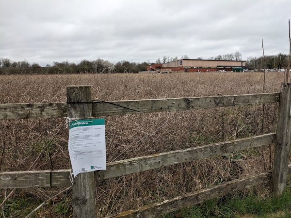
People who have commented on the plans for building a new care home and nursery (Plan P23/V2861/O on Land north of Copenhagen Drive, Abingdon) are worried that there might be problems with draining the water away from the site.
Abingdon Town Council commented, ‘The town council is also concerned about the risk of flooding as excess water will use the drain installed by Aldi and will end up in Larkhill stream. There has recently been flooding around Larkmead School, which may have been exacerbated by pressure on Larkhill stream, which runs close to the site. This is likely to be worsened by the proposed development.’
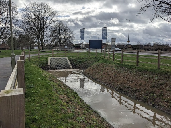
In the Aldi plan it was proposed ‘to discharge surface water from the development to the watercourse on the far side of Wootton Road, via a new connection.’ The new development is planning to do the same and drain surface water into what it calls ‘Watercourse A’.
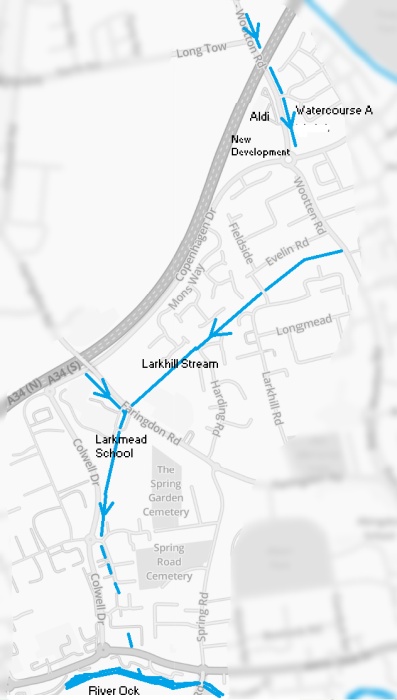
“Watercourse A” disappears underground near Wootton Road. Then, another stream called Larkhill Stream appears from under the same road, but I’m not sure if they’re connected.
More rain last night caused more flooding in North Abingdon! Farm Road and the Peachcroft Play area were underwater again. The Larkhill Stream (pictured above) also overflowed its banks.

About half way along the length of the Larkhill Stream is a flood holding area (at Rawlings Grove) , and that became a pond overnight.
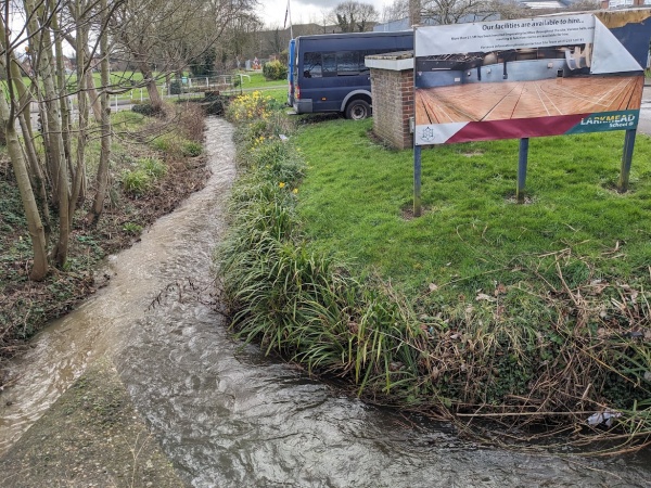
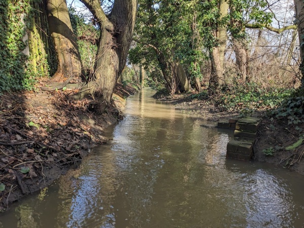
The Larkhill Stream (pictured on the left) is cloudy with dirt (silt) compared to the clear stream from Shippon (pictured on the right). Both streams meet near Larkmead School. I wonder if the dirt in Larkhill Stream came from “Watercourse A.” Anyone know? A friend is worried about this and trying to find out more before the plans go through.
I used to play in that little confluence when I was small, back in the 1970s. Always the water from the right was clear, always the other was muddy.
The use of a fluorescent tracing dye would surely answer this question. The relevant authorities should be pressurised to do this before any further development takes place.
Yes, good idea…
Good idea, ChrisS. Either that, or a really adventurous game of Poo Sticks.
Radioactive markers for the win. I’m sure someone who worked at Harwell or Culham has some in a jar in their garage
The UK Centre for Ecology and Hydrology has its HQ at Wallingford. I would be very surprised if this sort of water course tracing wasn’t part of their remit. I would bet that the Abingdon sewage processing works have got the odd bottle of marker fluid as well.
If only there were some sort of authority who held all of the previous planning information in one space…they would be able to join the dots and fully explain what is interconnected
They are connected. I used to play in stream that ran from Aldi to substation opposite tech college, until it was culverted. Used to crawl through pipe even after.
The Ordnance Survey Open Rivers (Understand how watercourses in Great Britain join up)
may provide the answers. It is free to download, but the data formats that are available
are not something that I’m familiar with !
osdatahub.os.uk/downloads/open/OpenRivers