Category Archives: flood

Water from West St Helen Street to Wilsham Road


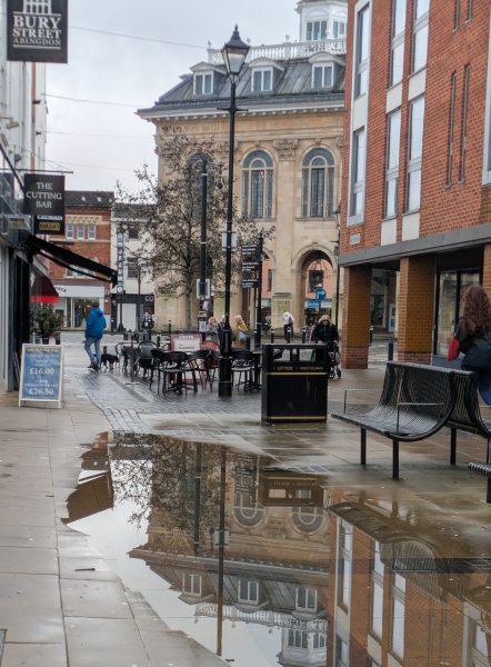
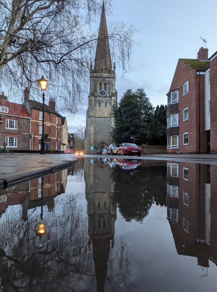
More rain fell today, and puddles grew again in West St Helen Street.

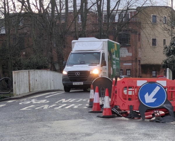
Some cars and vans are now using St Helen’s Wharf after threading their way through the roadworks either side of the iron bridge.

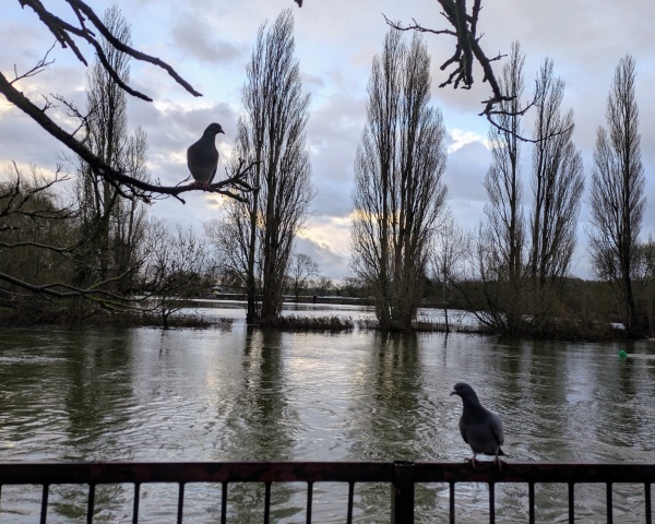
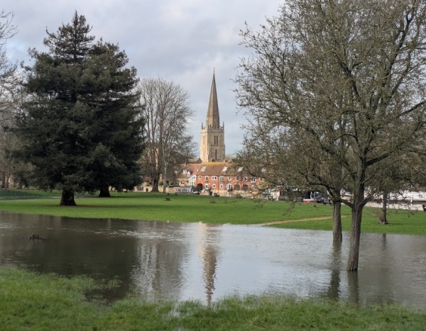
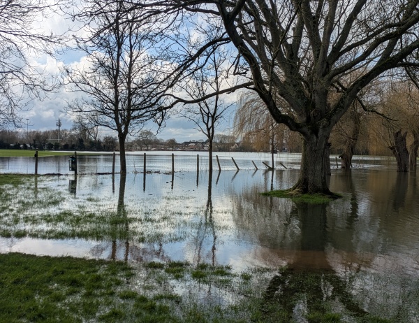
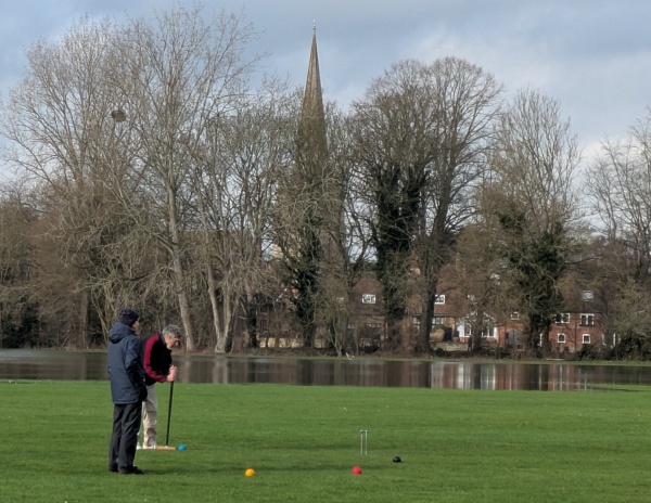
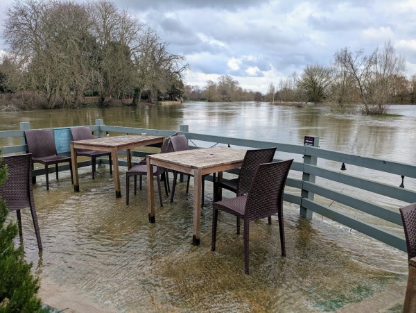
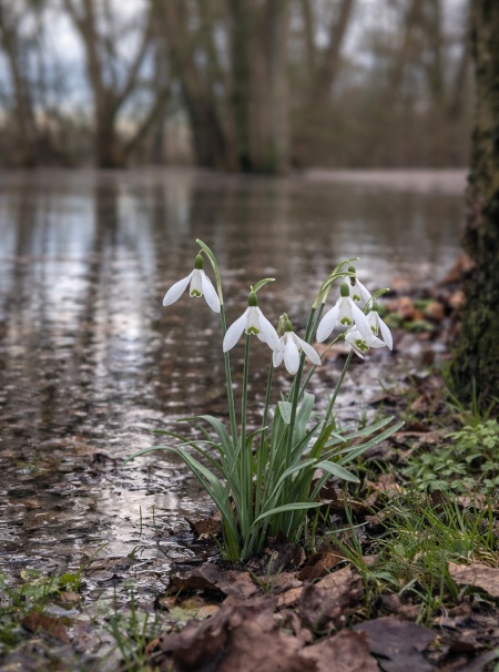
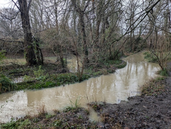
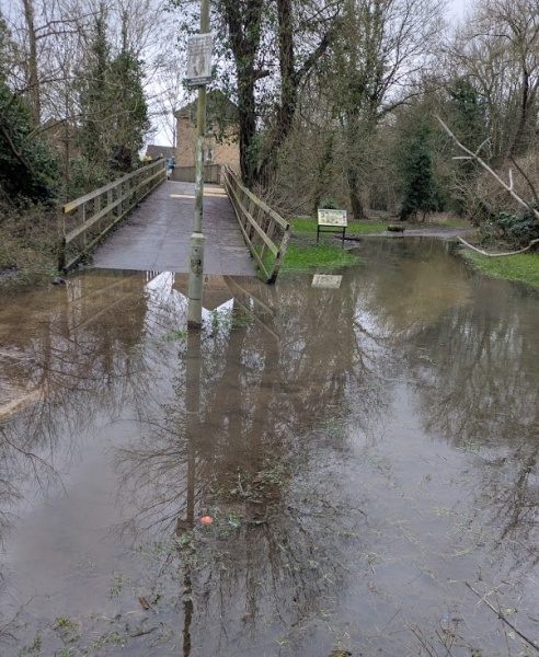
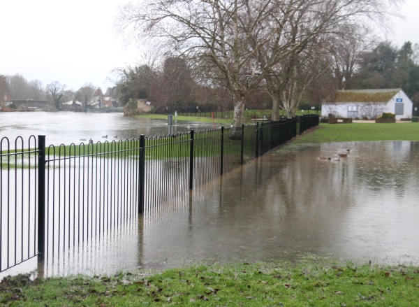
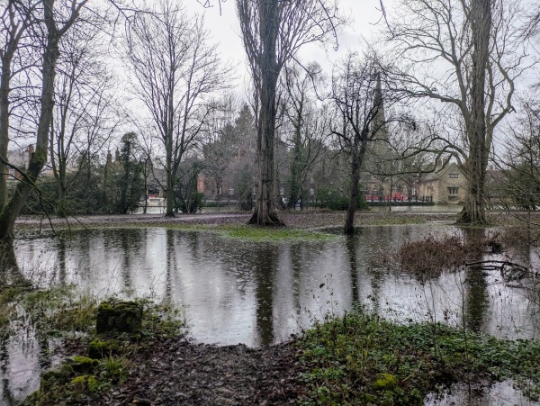
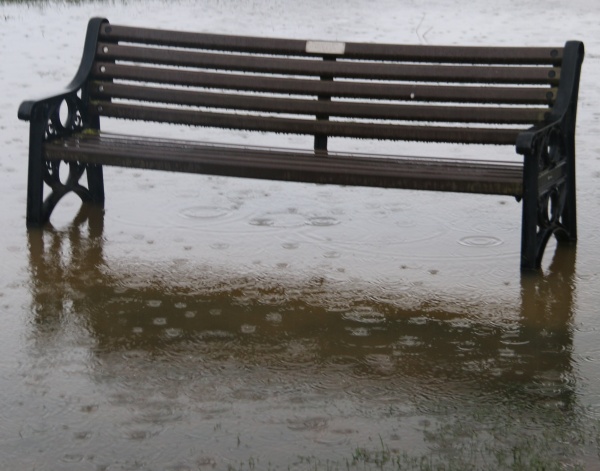
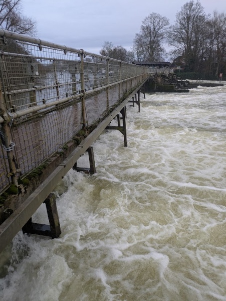
The River Thames remains high after another wet weekend, its waters still spreading across the floodplain,

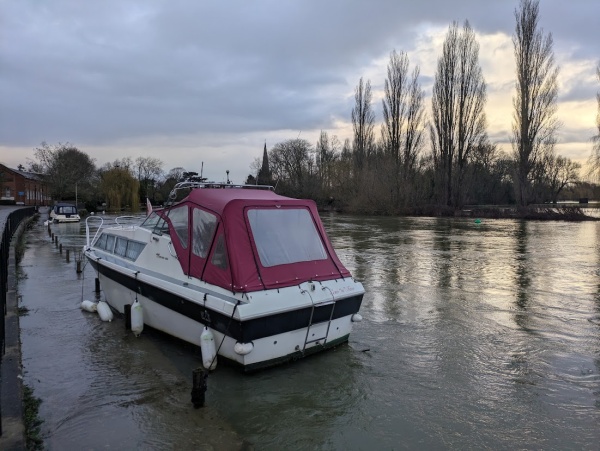
and the Wilsham Road moorings.

There is a smell of diesel in places, particularly St Helens Wharf.

Water everywhere and the reservoirs are not full yet


The level of the River Thames has continued to rise across the floodplain near Abingdon.

Today the weather was brighter with some sun and clear reflections. I was among the ‘flood tourists’ out with phone cameras.

The Thames Valley Croquet Club were able to play on the raised part of their green above the flooded area of Hales Meadow.

The end of Nags Head Island was awash.

Rye Farm Meadow was mostly underwater. At Abingdon Weir, the lock keeper has been busy – not only with his usual duties of flood control but also putting out warning signs to show that the weir path has had to close again.

These snowdrops are just above water.

The Thames Water performance web site says that Farmoor Reservoir was 80% full at the end of January – below the average for that time of year. It looks like the rain is needed.

More Rain Brings Further Flooding


There was a significant amount of rain on Thursday and Friday, which caused some surface flooding, and further rainfall has continued over the weekend.

The River Stert spilled over its banks near the Motte mound, as it winds through Boxhill Woods.

Meanwhile, the River Ock rose again, once more flooding and closing the Tesco path. The Ock Valley Walk was also under water in places

Another yellow metal plate has been fitted to the wooden bridge near Tower Close to cover the hole highlighted in an earlier blog post.

River levels remain high on the River Thames around Abingdon


River levels on the Thames around Abingdon remain high this week, with flooding of low-lying land.

In places, flooding appears to be coming up from below, with a high water table leaving the ground saturated even where the river has not visibly spilled over.

While levels are beginning to fall, the ground is now saturated, and levels could rise again if further heavy rainfall arrives upstream.

The weir gates now appear to be fully open. This may explain why the weir walk was closed in advance as a safety precaution. The closure removes a well-used circular route.