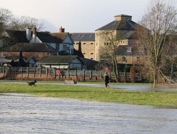
Yesterday, you could just about walk the Thames path if you were careful and wore wellies.
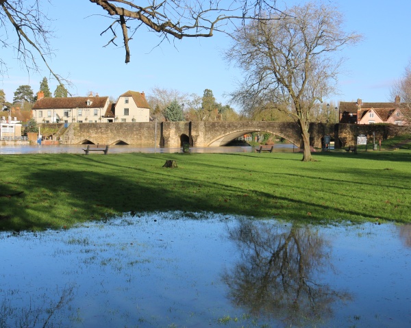
The sun was shining, and there were some picturesque views.
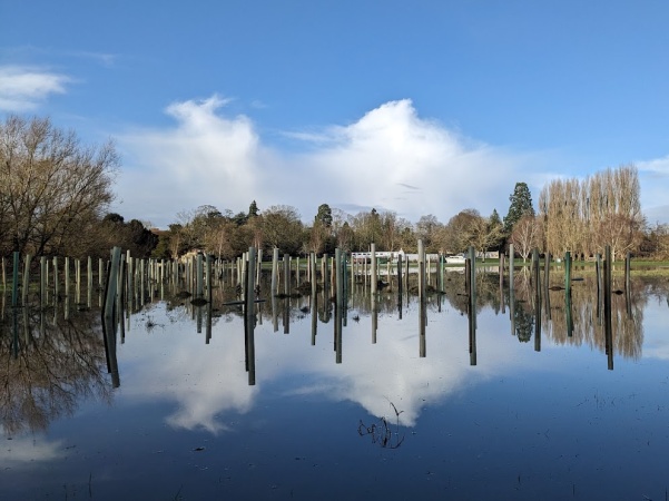
One lot of new trees in Rye Farm Meadow was underwater.
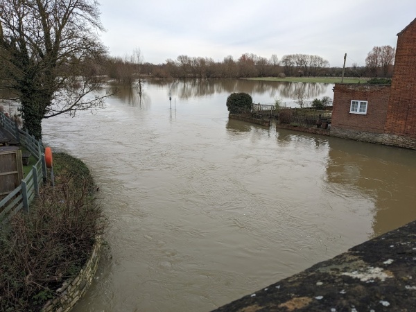
Today, the River Thames has a muddier look. Walking along the river bank, even with wellies, would be unwise.

A notice at Abingdon Lock warns people of human sewage and hidden obstacles.
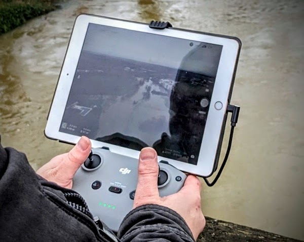
One of our local drone experts was taking pictures from Abingdon Bridge and from Abingdon Lock to be shown on his Facebook site, called fly4fun.
The water level was still rising near Abingdon Lock at 14:15. See https://check-for-flooding.service.gov.uk/station/7073
Dont believe those numbers for the water levels at the locks.
On Jan 7th 2014 the actual water levels were much higher than today’s 2.7m value
Oh and guess which company has the contract to run the EA’s Flood warning system !
Yes Fujitsu.
Sorry, typo , read 3.72 – Abingdon Lock Downstream
Abingdon Lock Downstream reading is now currently at 4.03m (09:00 05 Jan) – which has smashed previous record set in 2014, but upstream reading is 0.47m, which has not broken record of 0.58 – is there anyone here who can explain why both readings have not gone above the record levels? I can only assume that the weir is fully open with this amount of rainfall, but I’ve no idea where the water level monitoring equipment is for either, to understand why one is lower. Perhaps it was moved or set higher above the water?
It’s a shame that the twitter feeds on water levels seem not to be active any more. This post made me go and look, seems all of them stopped 6 months ago which coincides with one of Elon Musk’s big shakeups of Twitter. The Abingdon one was https://twitter.com/riverlevel_0962.
Its parent Gaugemap is still active: https://www.gaugemap.co.uk/#!Map/Summary/1029/1077 although a little behind the official gov.uk page in Backstreeter’s post.