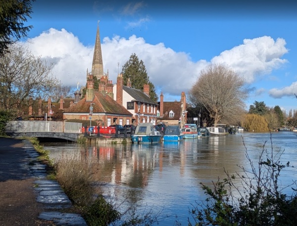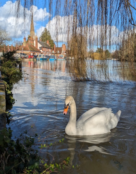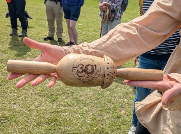
This year marks the 30th anniversary of the Thames Path National Trail. The Thames Path stretches for 185 miles from the source of the River Thames in the Cotswolds to Woolwich in east London. To celebrate the anniversary, a month-long relay walk is taking place along the Trail in partnership with Drinkable Rivers. The relay is carrying a baton (made from an old way marker carved with an acorn – the emblem of the trail).
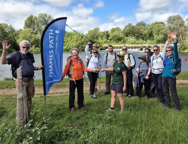
The baton arrived in Abingdon on Friday evening when Philippa Saunders of Pipsticks Walks handed it over to Sue Heathfield, who was leading Saturday’s walk.
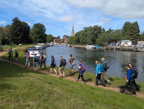
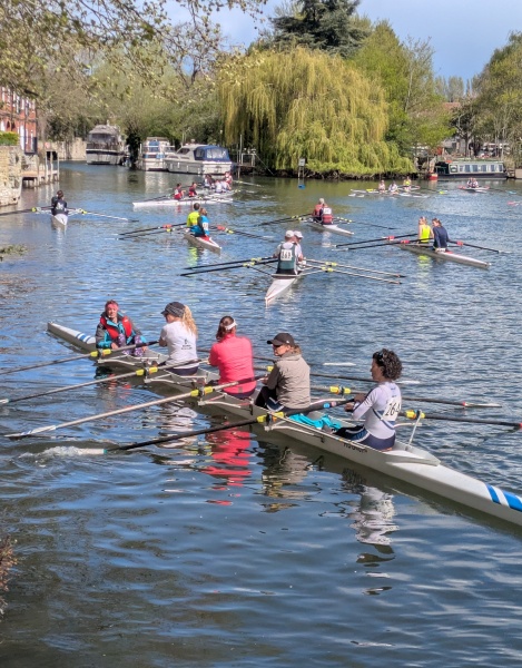
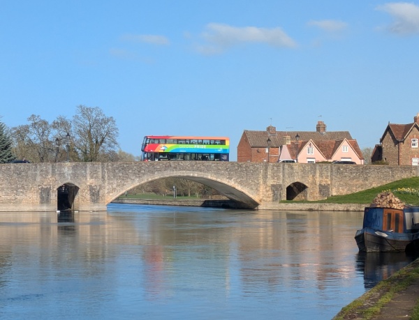
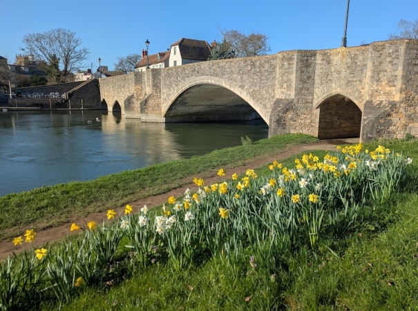
Saturday’s section was Stage 9 of the 24-stage relay, covering approximately eight miles. Before setting off, the group gathered at Abingdon Bridge to receive instructions for the day ahead. Among the information shared was that ice creams could be purchased at Culham Lock.
Thanks to Wendy for the photograph of the baton arriving in Abingdon.