July is typically the peak of summer in the UK, and at last there are warm days for sitting outside in your garden or the garden at St Ethelwolds. The St Ethelwolds garden is bright with colour particularly when the sun shines.

The garden looks peaceful and inviting and a place where people come to relax. Its fame has spread beyond Abingdon. Yesterday I met some people from Reading, visiting Abingdon who knew of the garden.

On one wall is the fragrant Summer Wine climbing rose.

Some of the bees in the garden live in the garden’s own bee and insect hotel.

Down in the wild flower area are a mass of blooms with insects hovering between flowers.
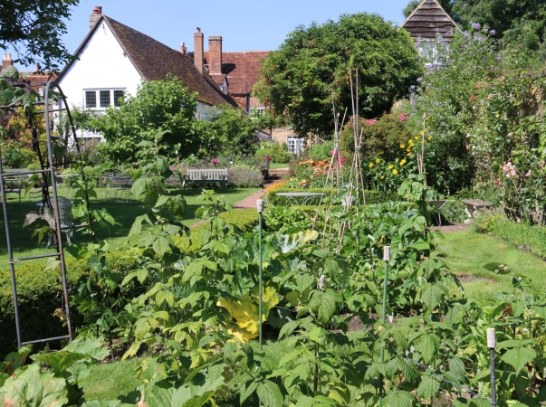
The vegetable and fruit garden at the bottom has herbs, beans, courgettes, lettuce, berries, rhubarb and more.
St Ethelwolds Garden – July 2024
1 Reply