The Ock Valley Walk in Abingdon has become more crowded in June. There are more people walking, and the Kingfisher canoe club visited the weir this week. But I have not seen the Kingfisher during June, not even a blue flash.
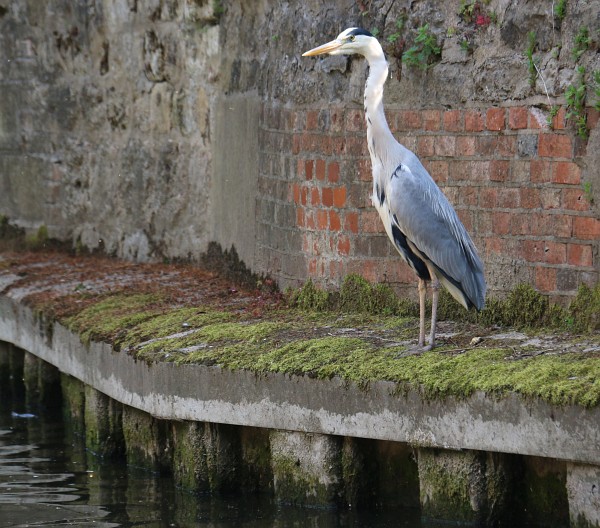
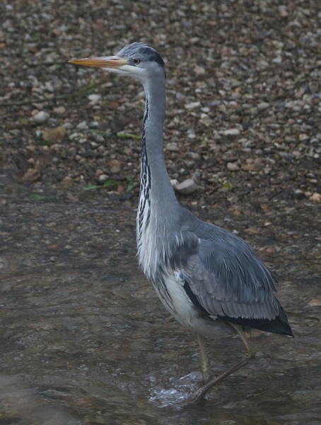
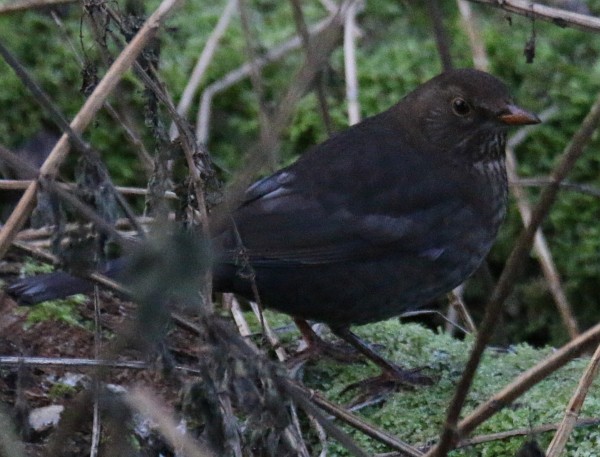
A heron was seen earlier in the month, and people have been sharing pictures of it on social media. It is a good indicator of a healthy ecosystem, as it feeds on fish and other small animals.

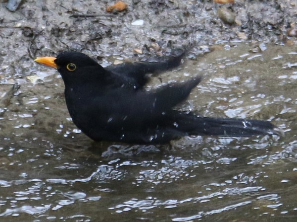
Fish were visible earlier in the month, but are harder to see now.

The grey wagtail can also be seen near the water. It is a good swimmer and diver, and it feeds on insects and small fish.
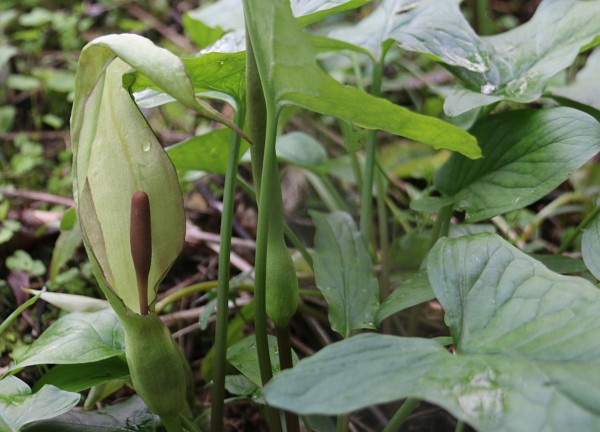
The blossoms and fresh leaves of May have been followed by mature foliage. Horse chestnut leaves have already started showing signs of aging as the Horse chestnut leaf miner, the larvae of a small moth, tunnels through the leaves, turning them brown. Elderflowers were abundant earlier in June and many are starting to develop into berries.
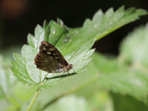
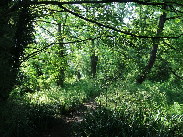
The nettles have grown tall, and some were cut back near the paths. Small brown butterflies flutter about in the vicinity.
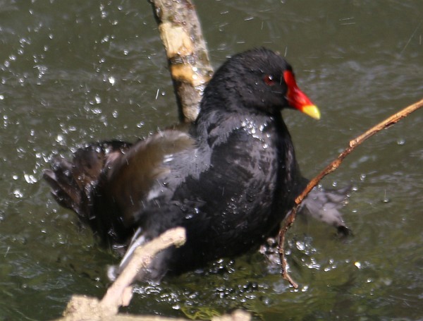
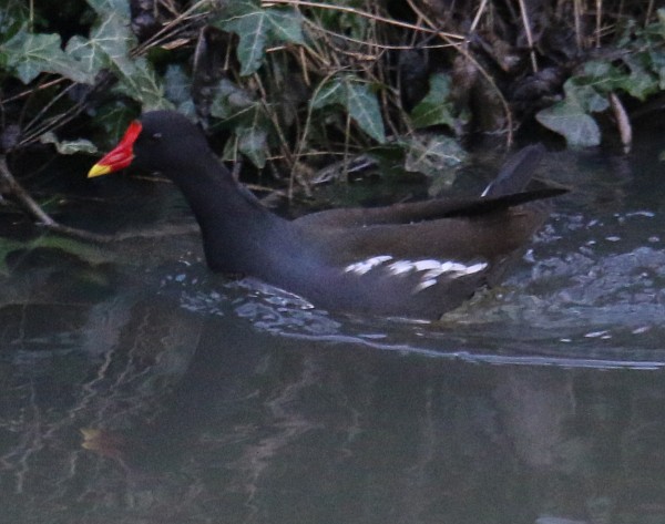
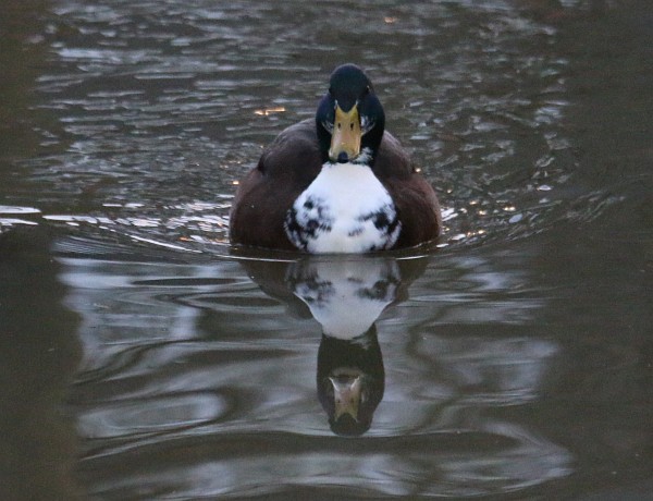
Ducks and moorhens are frequently seen, but I have not seen them with young on the Ock Valley Walk near town.
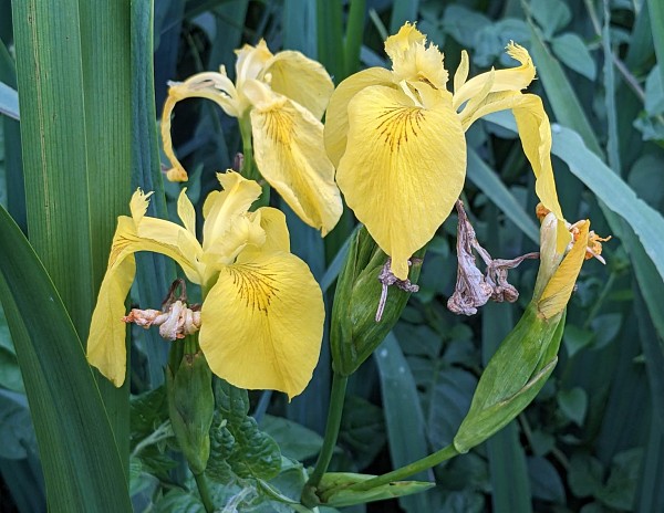
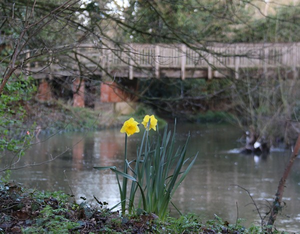
Yellow flags are visible along the walk, but further out from town, beyond the Ock Bridge, they look larger.
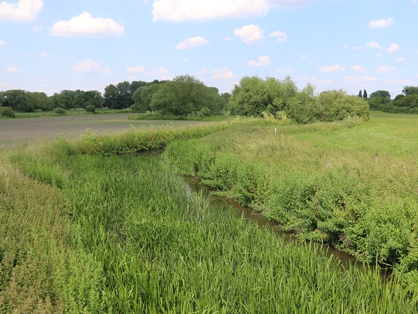
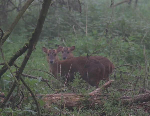
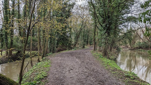
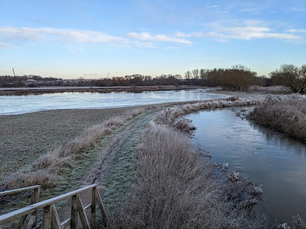
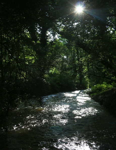
Extending from Tesco to Mill Lane, the River Ock is more overgrown and the channel looks reduced. There are probably lots of wildlife and their young hiding among the sedge and reeds, away from the crowds.
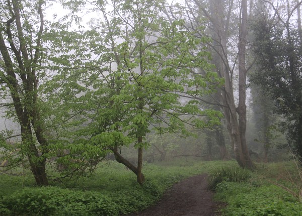
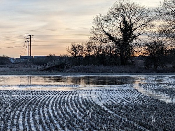
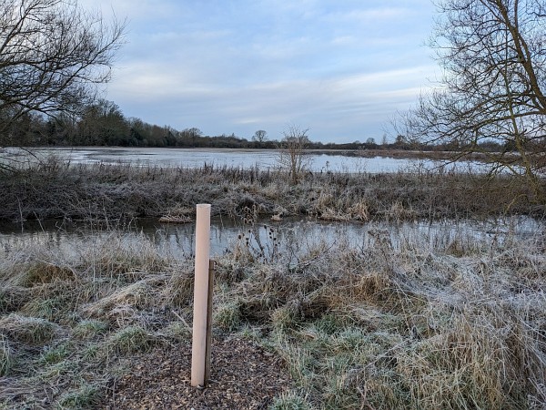
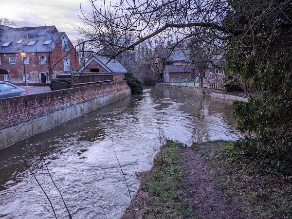
River Ock in Abingdon – June 2023
3 Replies