There has been talk of mud on twitter this weekend and I became very aware of mud on the dog walk today …
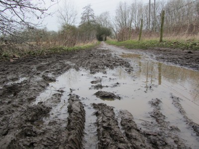
The area that looks like the pigs’ play puddle is the pedestrian route to Tesco from Chaunterell Way.
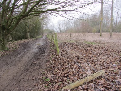
The route was created when Tesco first opened in the early 1980s (corrected from 70s after comment). There is a picture in the library local studies section of a bridge at the Tesco end of the path being lowered into position in 1983. Not only is the path muddy a lot of the year, but the fence is falling down.
Mud Trending
12 Replies