The rainfall in Abingdon between Saturday 23rd November and Sunday 24th November was 48.3 mm, with the heaviest fall of 5.5 mm between 6 pm and 7 pm on Sunday.

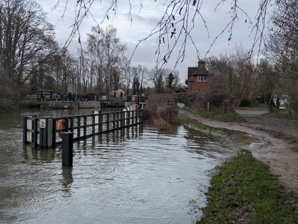
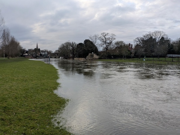
The Vale of White Horse, where the River Ock and its tributaries converge, may have had even heavier rainfall. The flooding peaked at 1.48 meters between 3:30 AM and 9:15 AM on Tuesday, November 26th. This is higher than the flood levels of September and January. The unprecedented three floods in a year are due to climate change, where once-in-a-century events are becoming more frequent.

The flooding in Mill Paddock looks more severe than September 2024, but less severe than the January 2024 flood, which was exacerbated by the flooding of the nearby River Thames.

The road flooding in Healey Close is worse then September and January.

The flooding on Chaunterell Way appears to be as severe as it was in September.

This area, including parts of Nash Drive and Orpwood Way, is the most severely affected.

Medlicott Drive has road flooding, and some residents have sandbagged their driveways.
With Chaunterell Way flooded, this road became the only way out of the estate. To prevent water washing towards garages and houses, residents patrolled the road to slow down traffic.

On the other side of Drayton Road, there is road flooding, and possibly property flooding in Tower Close.

The River Ock has also flooded the gardens in Meadowside.

The demolition of the footbridge and construction of a wall near St. Helen’s Mill has so far protected it from flooding. However people upstream are still looking for solutions as their lives are devastated by flooding again.