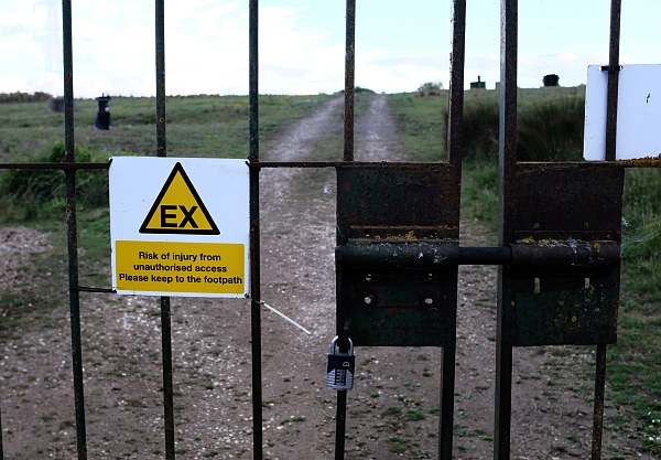
Landfilling at the Sutton Wick site was completed in 2005. Commercial waste lorries used to drive round and up the incline, full of rubbish, and come back empty. Signs round the site have the letters EX – explosive atmosphere.
The area was approximately 120,000 m2 and the methane and carbon dioxide flow, produced by bacteria decomposing the waste, was initially expected to be 300 m3 per hour.
Planning permission was granted in 2005 for an electricity generating plant. The only worry at the time was whether it would be noisy. There is a sighing sound every few minutes like letting off steam.
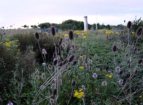
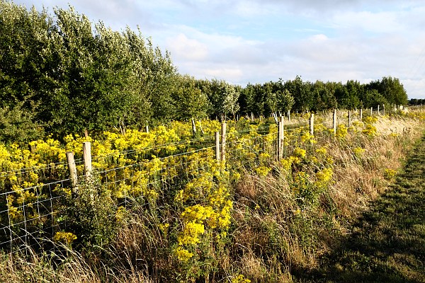
Trees were planted as part of the landscaping, and the land was left to wildlife. I saw a lot of ragwort and teasel when visiting this evening, and rabbits chasing each other
The footpath round the site starts at Peep-o-Day Lane and goes to Drayton. Most of the land is out of bounds, behind barbed-wire topped fences.
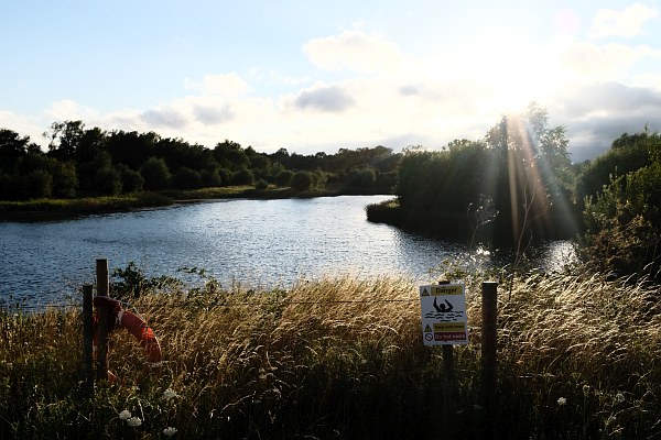
There is also a lake with some wildfowl but without public access.
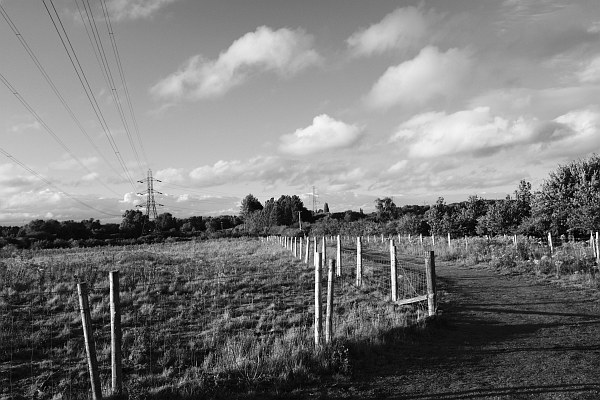
Electricity transmission lines from Didcot Power Station pass overhead. The skyline no longer has the large cooling towers of Didcot ‘A’ Power Station. They have been demolished since the last time I wrote about this nature reserve.
The path used to be down the other side of the lake, didn’t it. I think if I rewound far enough in this blog I’d find a photo of the application to re-route the footpath?
It’s still a smashing space though, I walk over that way quite often and it’s hard to imagine what’s underfoot as you do. With Peep-o-day lane re-opened we also cycle along the side of this space every day, there are a lot of rabbit burrows along there.
Back in the 70s. Abingdon’s rubbish was buried for a number of years in the old gravel pits which would have been where Abingdon Rugby and Southern Town Park are. Not sure what happened to the methane that it produced. Maybe there wasn’t so much food waste buried then. I used to live in Ashmole Road and looked out over open fields, before the gravel was extracted. Some residents campaigned for the extraction not to extend to the rear boundary of their gardens. They won – but this buffer strip of land was eventually built on (Andersey Way).