The Water Level of the River Thames in Abingdon stabilised on the O of Bristol at the Iron Bridge. It was above the O during the last high water in January 2014.
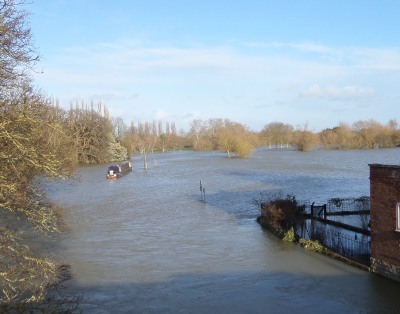
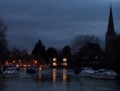
Rob sent me a picture “Looking towards St Helen’s from the Abingdon-Dorchester road“.
The Environment Agency (EA) has been telling us since the “2007 flood” that dredging rivers is not the most cost effective way to prevent flooding. Their resources are limited.

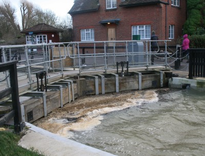
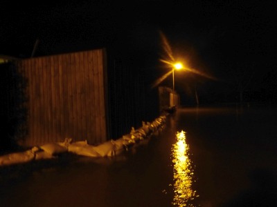
Spike sent this picture of St Helen’s Mill and the River Ock. He says “this flood barrier has achieved very little.”

The blue flood gate is out again at 60 East St Helens Street to keep out the Thames flood water.
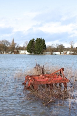
The River Thames causes some problems in Abingdon, but our forebears were sensible – building on just one side of the River Thames.

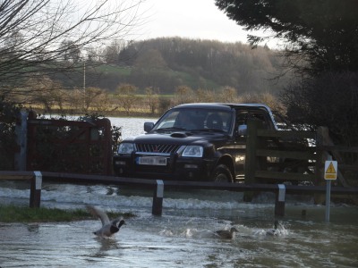
Malcolm send me a picture of where the Ock Bridge goes under the Drayton Road – on Sunday. Here in Abingdon, it seems to be the much smaller River Ock, primarily, and the River Stert that are the main threat to properties. Malcolm says on the Safag website that the whole catchment area of the River Ock needs managing.