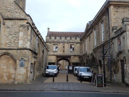
At one time Abbey Close (called Abbey in earlier town maps) was a short road from the Market Place through the Abbey Gateway towards the Abbey Meadow.
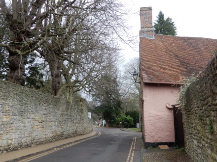
On one side it is still dominated by the long wall of the Abbey Grounds, and on the other side are houses.
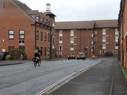
After the railway was removed, and the church hall behind St Nicolas was demolished, Abbey Close was extended to the Vineyard in 1989. Abingdon Past and Present and More of Abingdon Past and Present by Judy Thomas & Elizabeth Drury have pictures before and after.
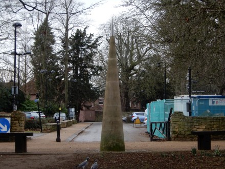
The millennium needle was added at the far end of Abbey Close in 2007.
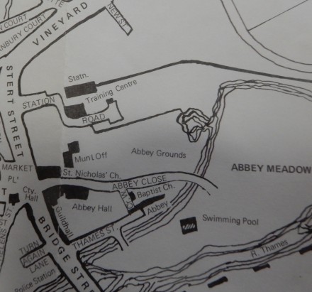
Comparing Abbey Close in 1950
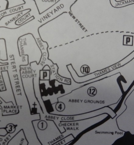
with 1990 you can see how it has grown and meanders round.
Abbey Close
9 Replies