Category Archives: flood

High Tide in Abingdon

River Ock

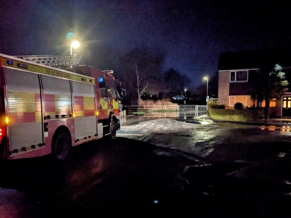
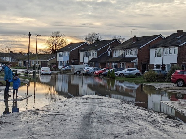
The River Ock continued to rise overnight and peaked at 6:30 am, by which time Chaunterell Way was flooded. Neighbours helped each other to move things upstairs. The fire service was in attendance during the night.

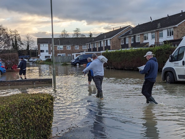
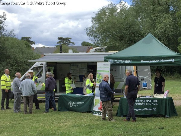
When I looked in soon after 8 am, I spoke to Tom Greenaway, a town councillor for the ward. He had spoken to the owner of one property that had flooded and there were probably others. He said the County Council sent and distributed two flatback lorries with sandbags. A private company were delivering further sandbags while I was there,

There were also signs of near flooding from the River Ock at Meadowside where some of the fire fighters live. I did hear they were also sent to Abingdon Road in Oxford which is badly flooded.

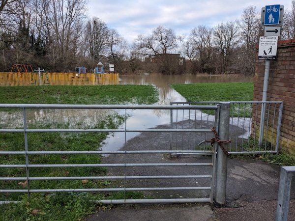
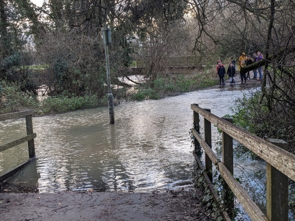
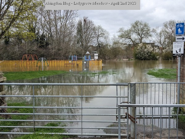
The Ock Valley Walk is closed by flood water.

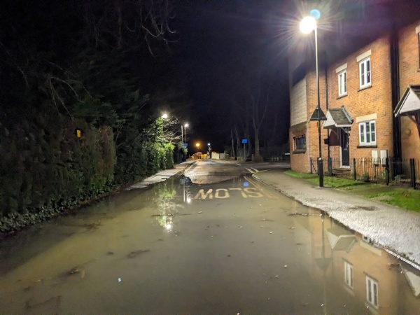
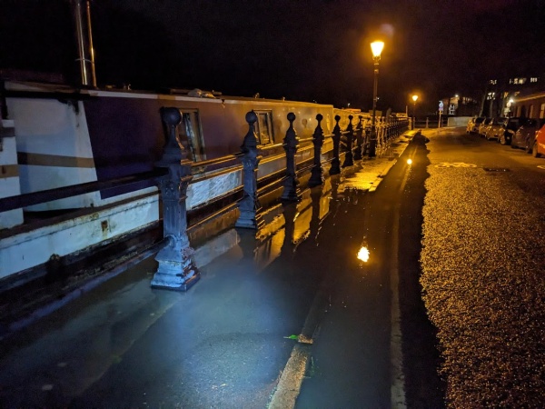
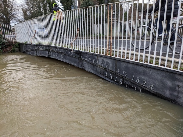
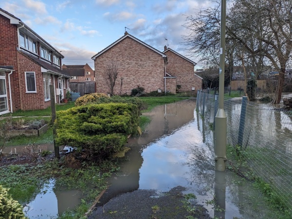
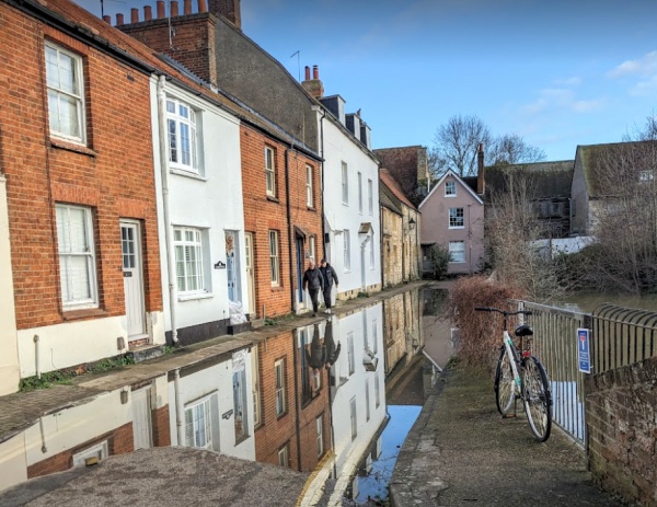
Water from Mill Stream Court had flooded Caldecott Road even more overnight. The Iron Bridge and St Helens Wharf was closed to traffic.

River Thames

The Margaret Brown Gardens were partly underwater and were closed during the morning. I can’t remember the River Thames covering so much of this small park.

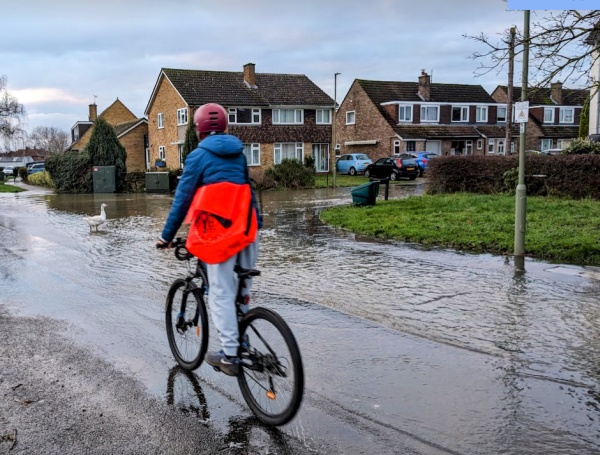
There was flooding from drains along Wilsham Road, Townsend, Baker Road, and the bottom of Preston Road.

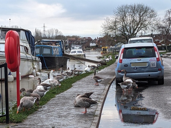
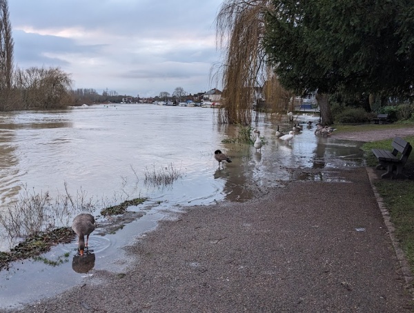
Geese and swans seemed reduced to eating grass where they could find it with so much grass underwater.

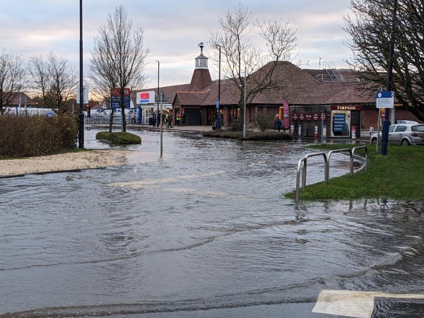
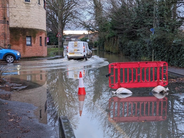
Thames Street had road flooding.

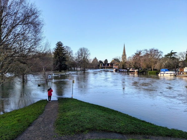
The view from Abingdon Bridge showed only a small triangle of land surrounded by water.

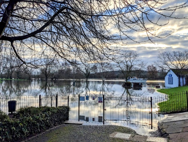
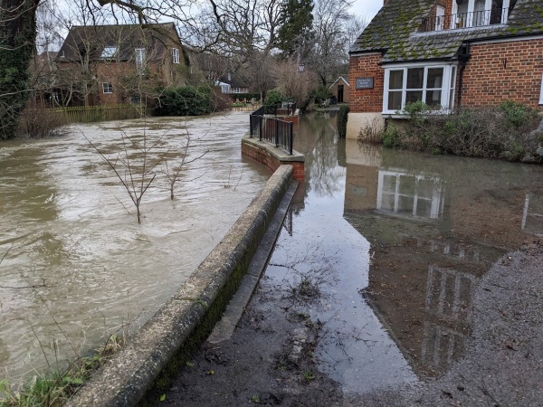
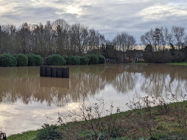
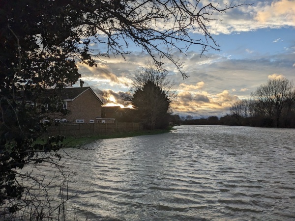
Large areas of the Abbey Meadows were underwater. The run off from the Mill Stream, near the weir, means that people can no longer access Abingdon Lock.

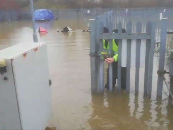
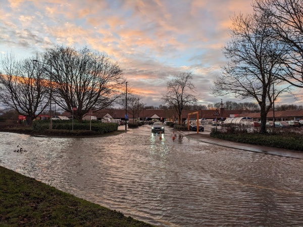
Thanks to Valonia for this final picture, from yesterday, of Rob, the morris dancer, setting out for supplies from Abingdon Marina where they live.  The Abingdon Marina carpark was fully underwater and the water was getting as close to the electricity supply as Valonia has seen it. The electricity might be off by now.

Danger of Flooding in Abingdon

Heavy rain from about 4 pm to midnight last night (Thursday) has led to the danger of flooding.

River Ock

This evening (Fri 5 Jan), a flood warning was issued at 9:30 pm, meaning property flooding is possible near the River Ock. I took this picture at about 3 pm at the gate to Chaunterell Way Park, and by 9:30 pm, the water was past the gate, and a group of anxious people were watching. The water would then flow into Chaunterell Way. The River Ock indicator shows the water level is still rising as I type this at 11 pm https://check-for-flooding.service.gov.uk/station/7081.

Near the town centre, water from the River Ock is spilling out from Mill Stream Court and flooding Caldecott Road near the iron bridge.

The new flood wall has not totally protected St Helen’s Mill.

Tesco closed at around 3:45 pm because all access roads and the carparks were flooded. Staff were going home.

The new Premier Inn continues to operate. They have opened a gate directly onto Marcham Road to let customers in and out, as the Tesco access is flooded.

River Stert and Radley Brook in North Abingdon

Last night (Thursday/Friday) there was road flooding in North Abingdon with people anxiously watching water levels. Farm Road was still partly underwater on Friday morning (near the River Stert). Chilton Close, and Appleford Drive, were affected by the Radley Brook.

Some suspicion is being pointed at the new developments in North Abingdon near those watercourses.

There are a series of flood holding places in North Abingdon, new and old. The old one at Tilsley Park is full. I have not heard of any reports of properties flooding in North Abingdon.

River Thames

The River Thames is higher than yesterday but its flood plain is huge. Water was washing onto the road at St Helen’s Wharf. There is also road flooding at the junction of Preston Road and Wilsham Road, and along the Wilsham Road from the River Thames (possibly through the drains?).

The River Ock joins the River Thames at the Iron Bridge. Water here is high from both directions. This may be causing some backing up of water.

Strong winds and flooding of low level land


Abingdon was hit by strong winds today, and the heavy rains of previous days caused the River Ock to overflow and flood the surrounding area.

The path and fields near the Ladygrove Estate were submerged, but the water levels had peaked by evening, looking at the flood monitoring station.

At Tesco, the car park and central approach road were flooded, forcing customers to use the petrol station way instead.

Flood Resilience Event at Ladygrove Meadow


Martin emailed me about the Environmental Agency (EA) flood presence on the Ladygrove meadow on Wednesday, 5th July. Martin went along as he lives nearby and suffered flooding on July 22nd 2007. The event was attended by local residents, including members of the Ock Valley Flood Group. (Thank you to them for the use of the picture.)

Martin spoke to a lady from the EA about flood warnings, as he received no warning when his back garden flooded on April 2nd 2023. There was no flood warning at that time, although there was probably a flood alert (lower).

He asked about the River Ock flood storage plan and got the expected answer that it was not economically viable. He also asked about dredging and got the answer that this has little effect, as the nature of a river is that it soon silts up again. However, there is work going on further upstream to ease matters.

He was told about the Thames Valley Flood scheme and website at https://engageenvironmentagency.uk.engagementhq.com/what-is-the-thames-valley-flood-scheme. The scheme’s primary goal is to reduce flood risk and build climate resilience, and they have 20 different approaches, some of which are relevant to the Ock Valley.

Oxfordshire County Council was also there. Their stall was more about dealing with floods and the Oxfordshire Flood Tool kit https://www.oxfordshirefloodtoolkit.com/.