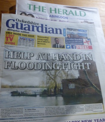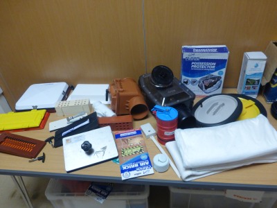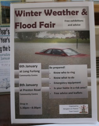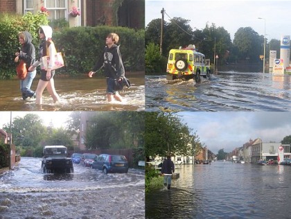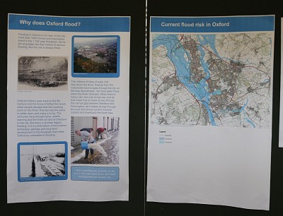
There has been a lot of flooding in Oxford recently. And so the Environment Agency, with funding from councils, are aiming to create a flood relief channel to the west of Oxford from the Botley Road to Sandford on Thames.
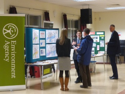
A few miles downstream from Oxford is Abingdon. So Abingdon has been included with Kennington, and a few venues in Oxford, to get this first consultation before design work starts. If you missed it there will be another consultation later in the year after design work is done.

Consultants wanted to assure the Abingdon public, that although the relief channel would allow River Thames flooding to reach Abingdon sooner. the water levels would not go any higher (using their flood modelling techniques) or they would have to go back to the drawing board. They also wanted to pick up some local knowledge, and so were glad to meet with local flood groups.
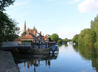
The only risk with their outline scheme, that I could see, is that Abingdon normally gets flood water from the River Ock and River Stert first, and then from the Thames a day or so later. What will happen if these different rivers are at their high point nearer the same time?