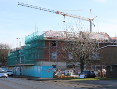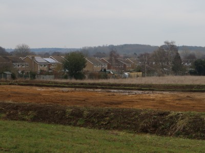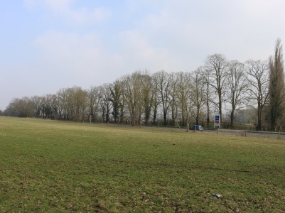
The Vale of White Horse Planning Committee voted by seven votes to five, with one abstention, to allow 158 dwellings on the field next to the Drayton Road – on the other side of those Lime Trees. 10 of the Lime Trees will be cut down to make an entrance onto the Drayton Road.
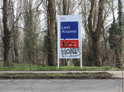
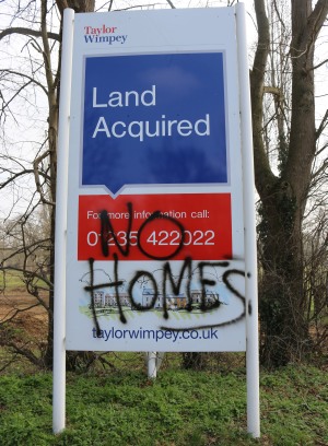
The committee were deciding on Taylor Wimpey’s modified housing plan. Taylor Wimpey had brought the land from a previous developer with a plan for 159 dwellings, but wanted to use their own style of housing. That original plan was turned down by the Vale of White Horse Planning Chairman, without even going to committee – among other factors, because of South Abingdon’s traffic problems. But that plan was allowed on appeal by a planning inspector. This time the modified plan did go to the committee, and that same chairman voted for the modified plan, and Council officers kept saying it would be very cavalier of councillors to go against officer advice, and face significant costs if they lost a second time on appeal.
A number of local councillors had spoken against the scheme before it was discussed by the committee, and three local residents were allowed just 3 minutes between them to present the views of residents. When the clock stopped for Anthea to take over there were just 33 seconds remaining. She wanted to speak on the environmental issues of the development. She put the case that the developer’s studies had failed to reveal the bats and other wildlife. She did not have time for her conclusion, which was “One has to conclude that if the developer’s evidence is inaccurate, here, then surely other aspects are also inaccurate.”
After the vote, the debate ended in shambles as some Councillors thought there was still time to include a condition about measuring the effect of the traffic mitigation scheme (those pedestrian lights on Marcham Road) before houses were built That was ruled out of order. It should have been proposed properly and voted on before going to the final vote.