
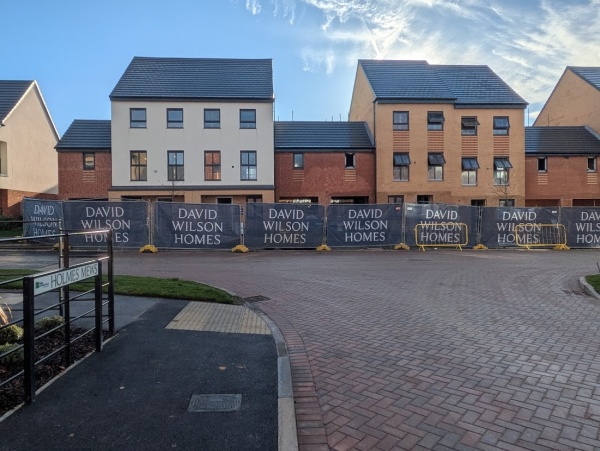
In The Meadows at Abbey Fields, the David Wilson Homes development, several of the roads are named after businesses with long associations with Abingdon. A new one to me is Holmes Mews.

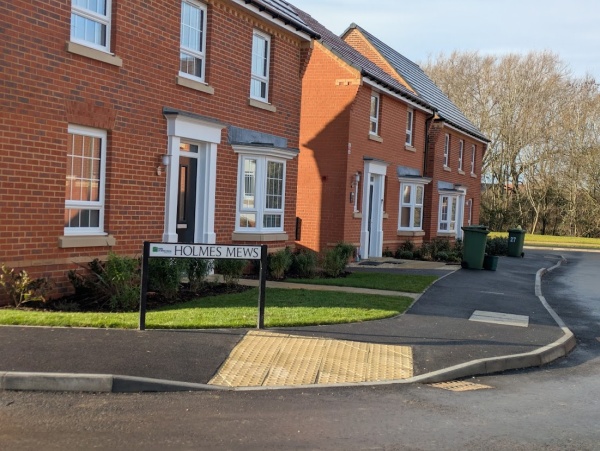
Percy Holmes was Mayor of Abingdon in 1953 and belonged to a family long associated with the town through P. Holmes & Son, bakers with shops in Ock Street and Bath Street.

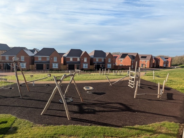
Nearby in The Meadows is a new children’s play area. When I visited last summer it was still behind fencing. It has now opened.

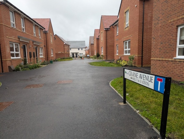
On the neighbouring Abbey Fields estate, a Barratt Homes development, are a couple of other road names that seem to be fairly new. One of these is Crane Avenue. Rhoda Crane, known as Sue, served as a town councillor from 1987 to 1995 and was Mayor of Abingdon in 1993–94. She took a particular interest in town twinning.

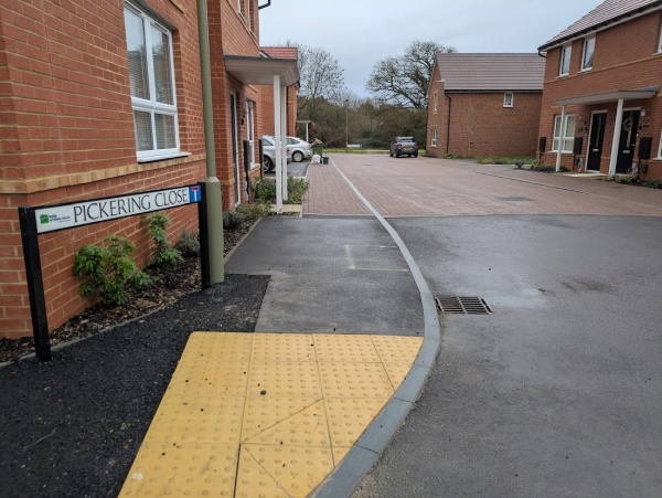
Another is Pickering Close. Dorothea Pickering was an educator and spiritual pioneer in Abingdon. She bought a house in East St Helen Street and moved her preparatory school there from The Vineyard, where it continued until 1967. In the 1970s she re-imagined the house as a spiritual centre, naming it St Ethelwold’s after the Abbot of Abingdon Abbey.
Flags Waiting for Better Weather

Thirty-nine flags line the lamp posts of Saxton Road and its side courts – mostly Union Jacks, with a few St George’s Crosses. Only one lamp post has been missed.

Today many of them are wet, clinging to their posts. I could wait for better weather to capture them as I saw them yesterday, when they made a fine display.

There are also the usual flag displays in back gardens, proudly shown along the road. So there are a lot more than thirty nine.
Two Road closures in Abingdon town centre

Last week I reported that West St Helen Street had closed. Although it reopened on Friday after some initial digging, the road closed again on Sunday.

The current works are more extensive, with four deep trenches dug down to the gas mains.

Winsmore Lane, another road in the town centre, is also closed. This could be Abingdon’s narrowest traffic road, carrying single-lane traffic to the back of some businesses and a few residences. The closure is for electricity works, likely connected to the redevelopment of the former Lloyds Bank building.
Businesses and residents can still access Winsmore Lane via St Edmunds Lane, where a bollard has been temporarily removed to allow entry.
Winsmore Lane takes its name from a family who owned part of Banbury Court until 1713 (1). Banbury Court was a substantial property of medieval origin located in this area near the River Ock – not the Banbury Court flats on the Vineyard.
1 – Baker, Agnes C. (1957). Historic Streets of Abingdon. Abingdon: The Abbey Press, p. 28.
Flooding on the Tesco Footpath After Recent Heavy Rain

The footpath beside the River Ock to Tesco is flooded. At the Tesco end the path is submerged, with water flowing across it. This follows the heavy rainfall of the 15th and 17th January.

The fields near Tesco are also flooded, as water flows over the banks of the River Ock and Sandford Brook.

Higher water can also be seen in the flood basins near Tesco. They were cleared last year and made more visible. Despite this, there does not appear to be any threat to the Tesco car park.

It is also interesting to see from the footpath that the field between the River Ock and the site of the new Unicorn School, formerly Ock Mill and the Premier Inn, has been cleared of willows and other trees and bushes.